Today Partly cloudy 8° 7°Next days
The long way to the roof of Germany
There are three classic walking routes up the Zugspitze (2,962 m): through the Höllental, from the Tyrolean side via the Wiener-Neustädter Hütte, and through the Reintal. The Reintal is the longest but technically easiest of the three: no glacier, and unlike the other routes it needs no via-ferrata set — just a long, steady climb over almost the entire height gain from the valley to the summit.
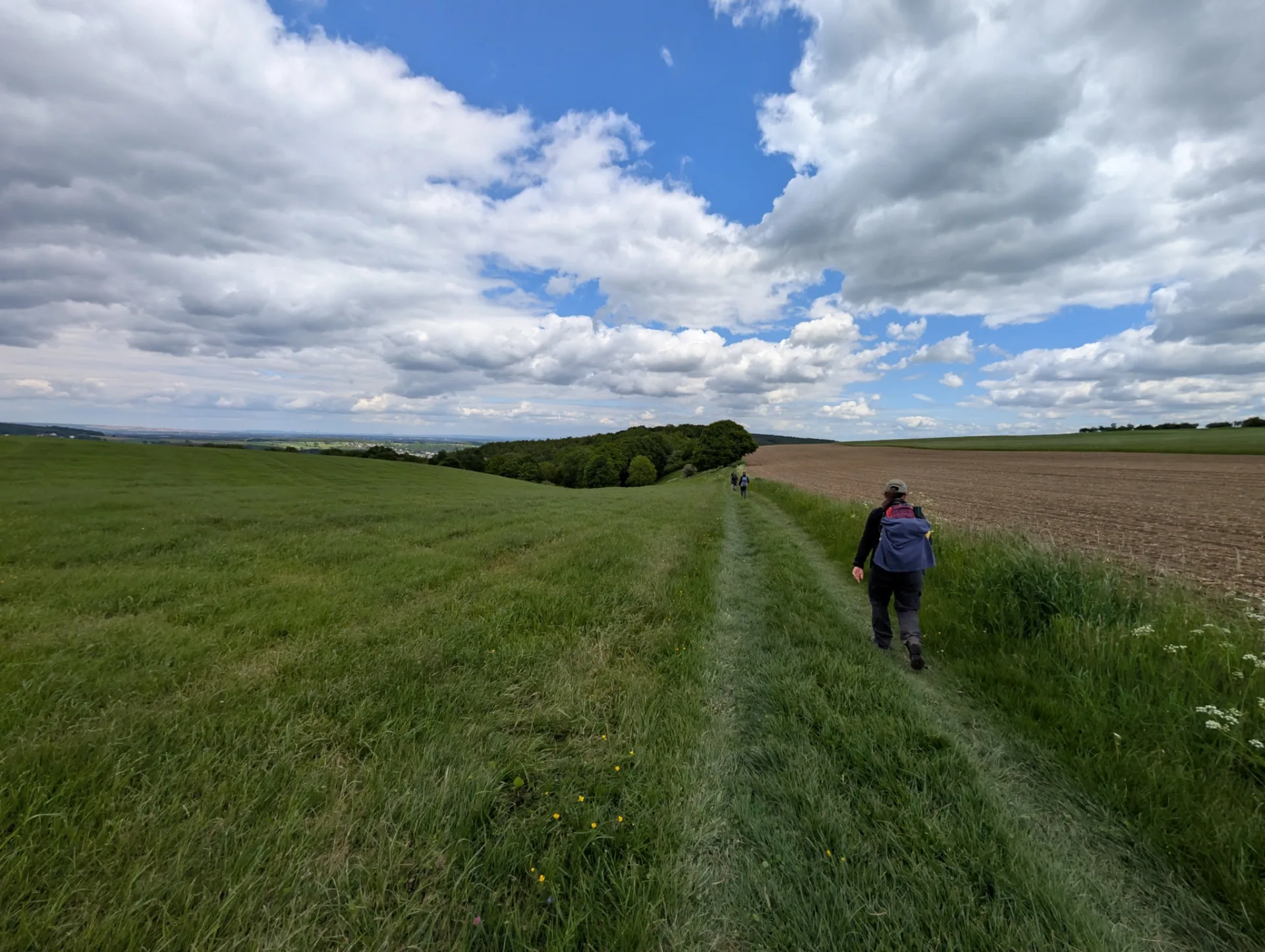
From Garmisch-Partenkirchen the route first passes through the Partnach gorge, then heads up the valley along the mountain stream into the Reintal, past the Reintalangerhütte and on to the Knorrhütte. Above it opens the Zugspitzplatt, the karst plateau below the summit; a final, cable-secured climb leads up to the summit platform. This tour retraces my ascent — around 24 kilometres, a good 2,500 metres of climbing, from the valley floor up to the Zugspitze (2,962 m).
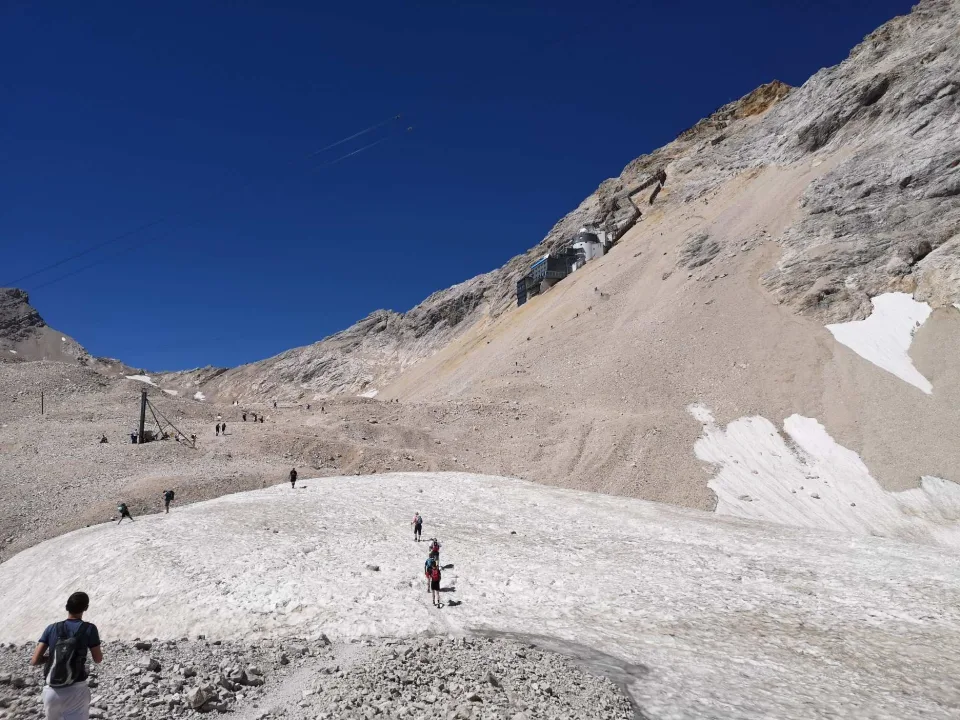
We set off before four in the dark — slowly but steadily. The first hours through the Partnach gorge and the lower Reintal we walked by headlamp; only deep in the valley did it grow light. Past the Bockhütte, the Reintalangerhütte and the Knorrhütte the path climbs inland in a long, even ascent until, above the treeline, the Zugspitzplatt begins — a barren high plateau of scree and lingering snow below the summit. Up here, exposed to the sun, good sun protection mattered more than any rain jacket.
The real crux comes at the end. From the Sonn-Alpin station up to the summit platform it is one more steep climb, secured with steel cables and including a ladder. A via-ferrata set is not essential — we went without, though some clip in here. More demanding than the ladder was the crowd: the last few metres to the summit cross, which has its own access path, we skipped given the throng of cable-car visitors all after their selfie at the cross. That makes the summit no smaller — the long way up from the valley is the real point anyway.