Today Rain 21° 6°Next days
At a glance
- Evening loop around Partenkirchen
- Day 1 — pre-stage up to the Eckbauer
- Day 1 — Welcome to Garmisch-Partenkirchen
- Day 1 — post-stage from the Geisterklamm to Leutasch
- Day 2 — pre-stage from the Hubertushof to Leutasch Weidach
- Day 2 — Olympic Seefeld and Innsbruck, capital of the Alps
- Day 2 — post-stage from Seefeld to Birgitz
- Day 3 — pre-stage up to the Mutterer Alm top station
- Day 3 — crossing into the Stubai Valley (standard route)
- Day 4 — pre-stage up to the Serles top station
- Day 4 — past the Maria Waldrast pilgrimage site (non-standard route)
- Day 5 — into the idyllic Obernberg Valley (standard route)
- Day 6 — smugglers' paths into South Tyrol
- Day 7 — pre-stage from Gossensaß to the Ladurns top station
- Day 7 — from the Pflersch Valley to Sterzing
- Day 7 — post-stage from the Rosskopf top station to Sterzing
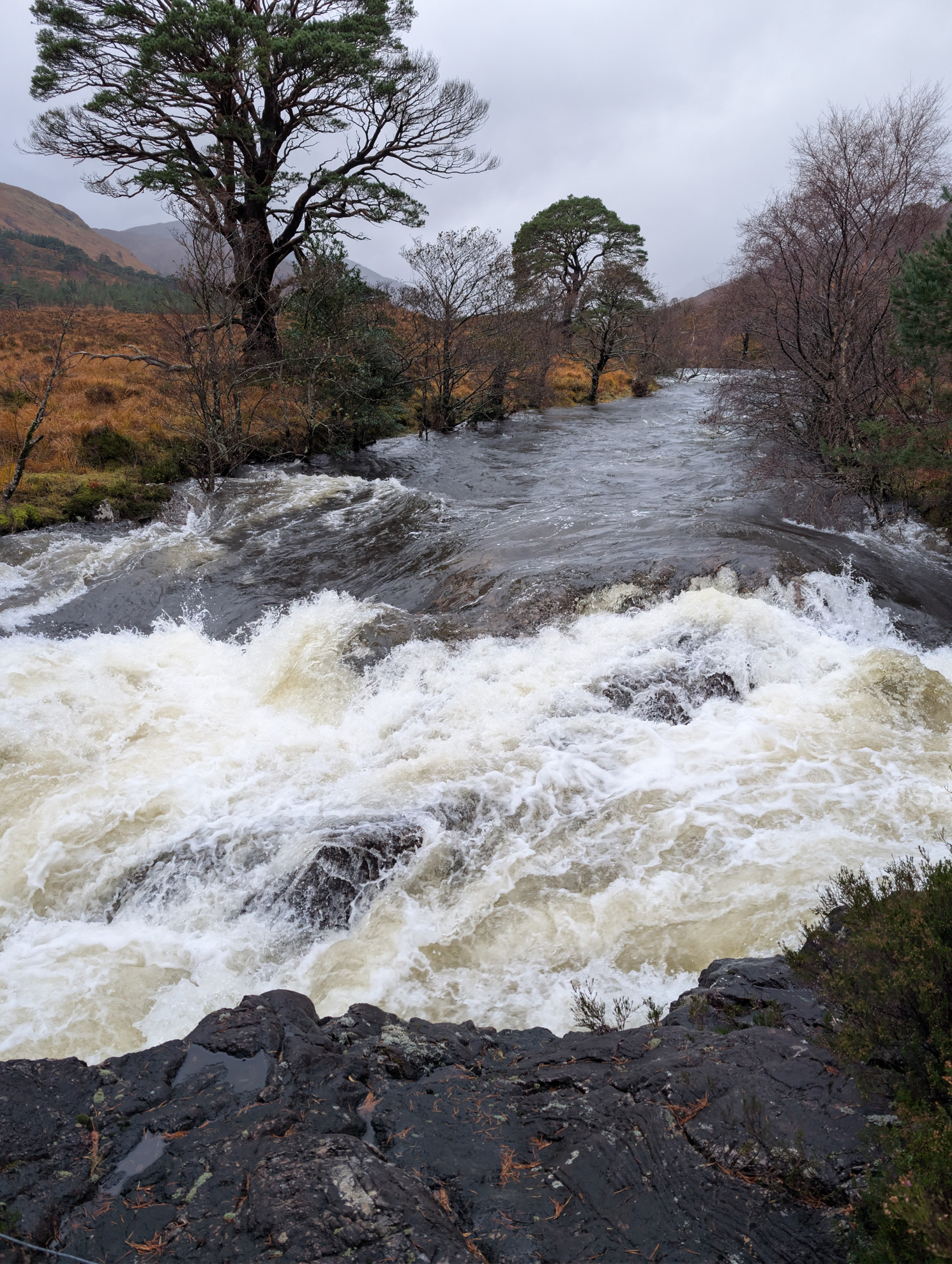
- Epilogue — through the Partnachklamm to the Reintalanger hut and back
Across the Alps, on foot
For my 60th birthday I gave myself an Alpine crossing. Luggage transfer was organised by the tour operator ASI Reisen, so we could walk with relatively light packs and stay in comfortable accommodation.
Since my dear walking companion was a good walker too, we skipped buses, trains and cable cars and covered the entire stretch from Garmisch-Partenkirchen to Sterzing on foot over seven days. The pre- and post-stages are marked as such — those are the lift and public-transport sections we walked instead.
Apart from the short evening loop, we also did a longer walk to the Reintalanger hut after we finished. The Kaiserschmarrn in the title image, which wasn't even on the hut menu, was just one of several wonderful moments.
The stages
Evening loop around Partenkirchen
A beautiful evening atmosphere — the visit to the Puoro restaurant is highly recommended.
Day 1 — pre-stage up to the Eckbauer
Day 1 — Welcome to Garmisch-Partenkirchen
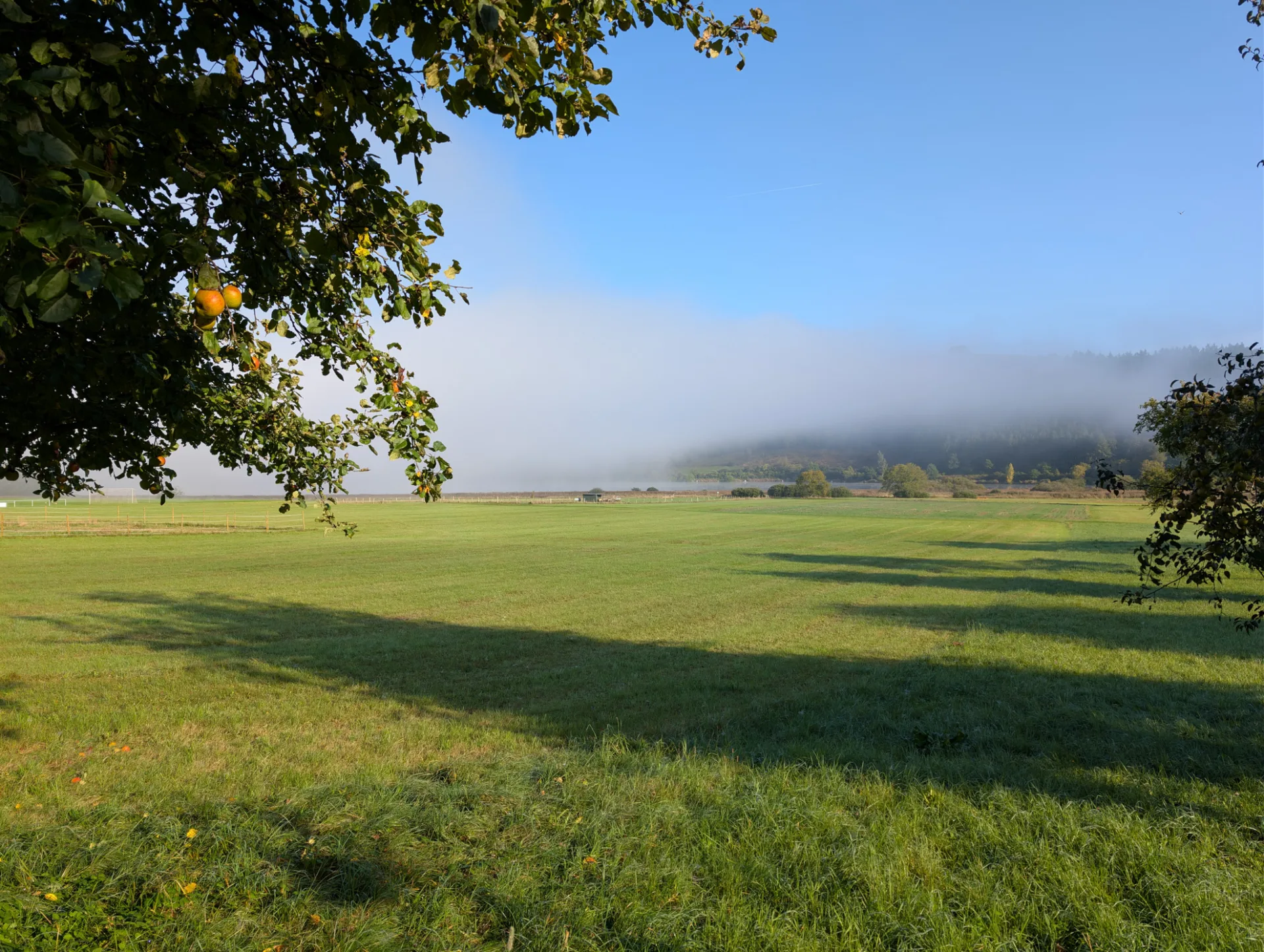
Day 1 — post-stage from the Geisterklamm to Leutasch
Austria welcomed us with rain — which of course didn't dampen our spirits. After the forest track at the start there's a narrow path roughly one kilometre long that demands sure-footing — not recommended in slippery conditions.
Day 2 — pre-stage from the Hubertushof to Leutasch Weidach
Day 2 — Olympic Seefeld and Innsbruck, capital of the Alps
Day 2 — post-stage from Seefeld to Birgitz
Day 3 — pre-stage up to the Mutterer Alm top station
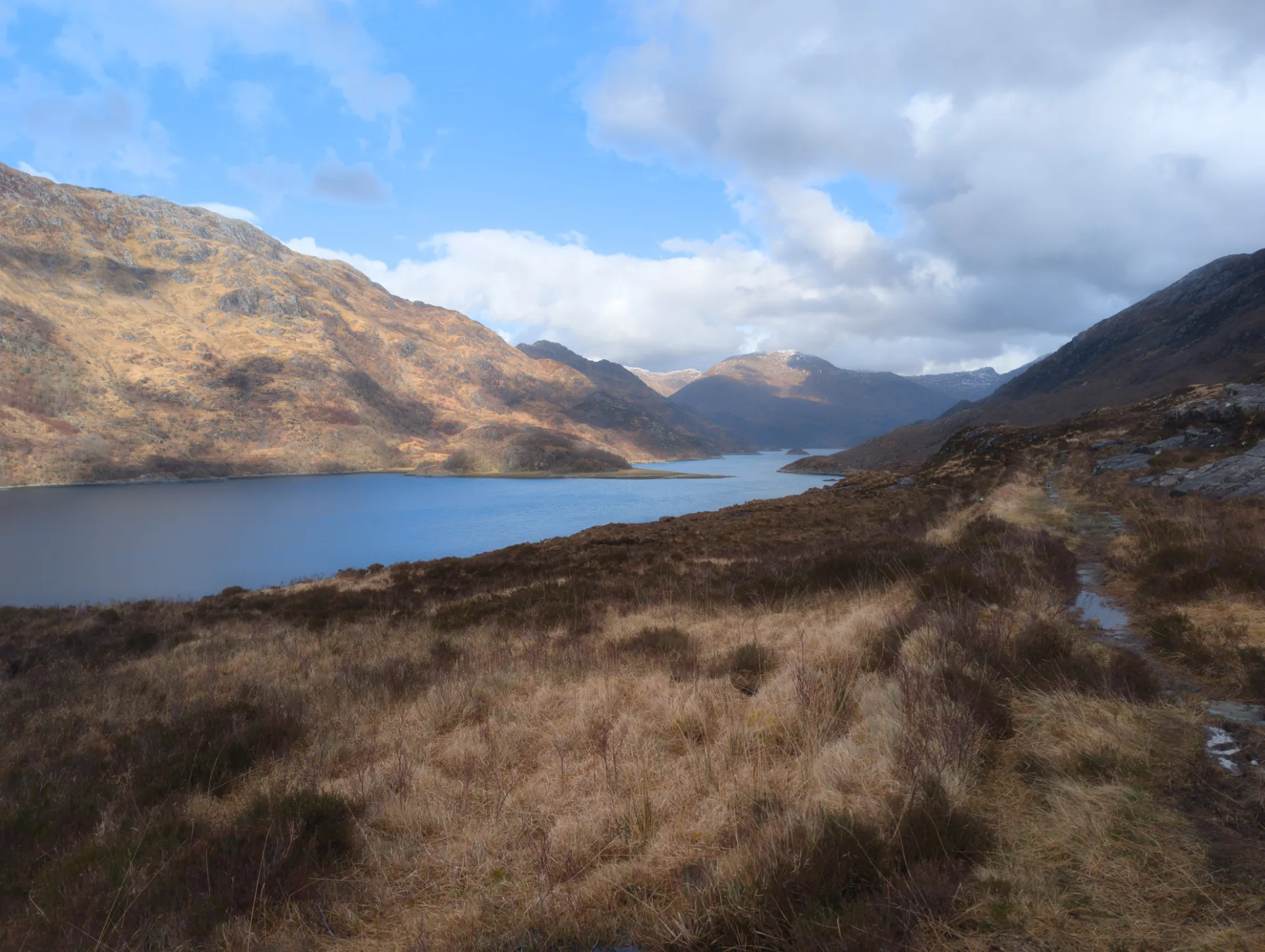
Day 3 — crossing into the Stubai Valley (standard route)
Day 4 — pre-stage up to the Serles top station
Day 4 — past the Maria Waldrast pilgrimage site (non-standard route)
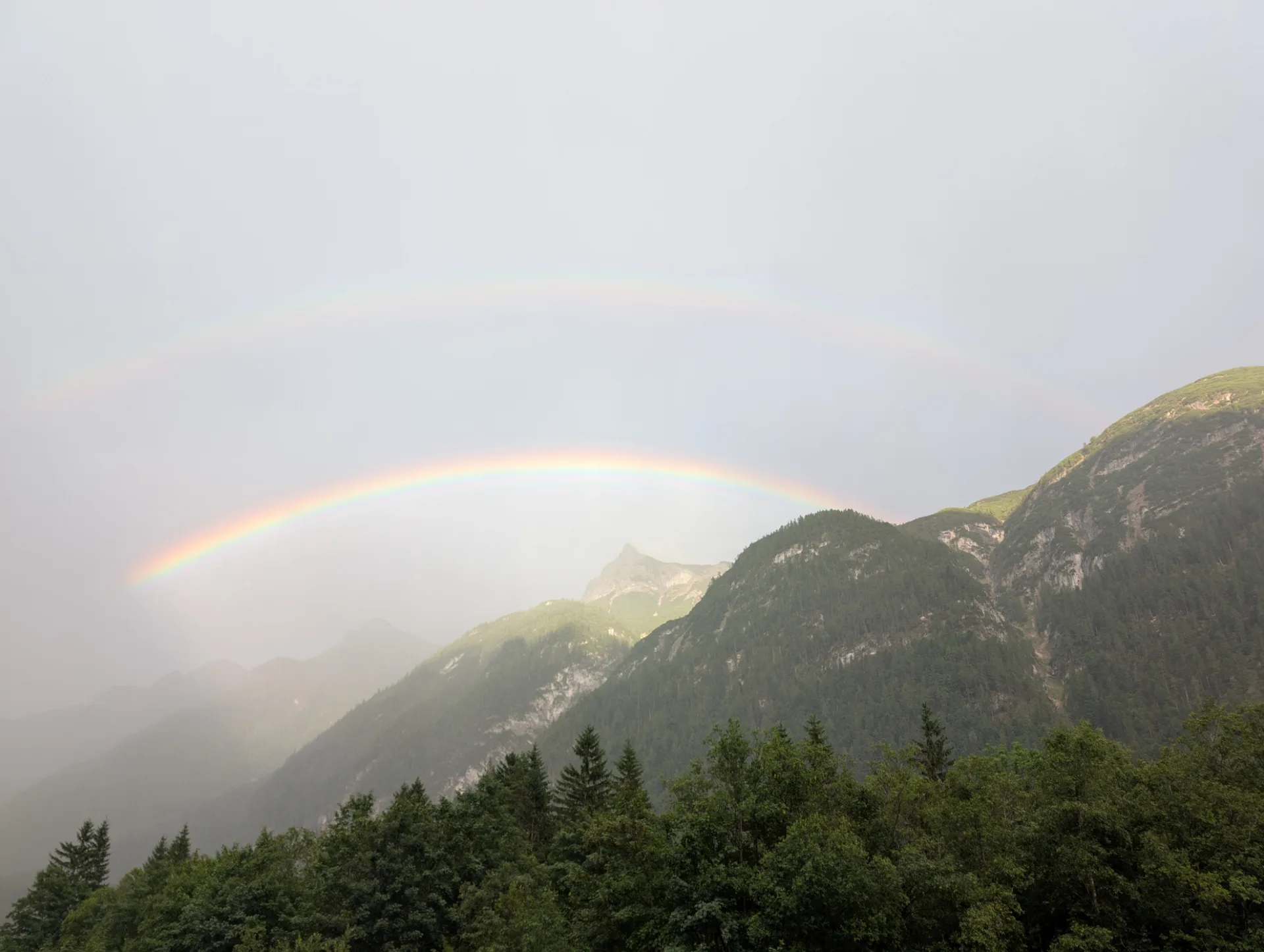
Day 5 — into the idyllic Obernberg Valley (standard route)
My 60th birthday. Glorious walking weather in beautiful country.
Day 6 — smugglers' paths into South Tyrol
Day 7 — pre-stage from Gossensaß to the Ladurns top station
Day 7 — from the Pflersch Valley to Sterzing
Day 7 — post-stage from the Rosskopf top station to Sterzing
Epilogue — through the Partnachklamm to the Reintalanger hut and back
We'd been training well in the run-up — the last tube of muscle balm is empty.