Hiking Madeira: levadas, laurel forest and Pico de Arieiro
Eight hikes on Madeira: from Funchal up to Monte, along the levadas across the island, through the misty Fanal forest, and the big climb from Santa Cruz up to Pico de Arieiro.
A week on Madeira, out of Funchal: the classic climb up to Monte, several levada paths across the island, the misty laurel forest of Fanal, and to finish the big climb from Santa Cruz up to Pico de Arieiro with over 1,800 metres of ascent. Eight hikes between coast, laurel forest and high mountains.
A steep look down onto a winding road above FunchalStone steps through open eucalyptus woodlandA cobbled path with a signpost above FunchalAn old cable-car pylon above the valley
A note: parts of the path appeared to be closed — oddly, signposted only from
below — and you should have a head for heights here anyway. And do take plenty of
water.
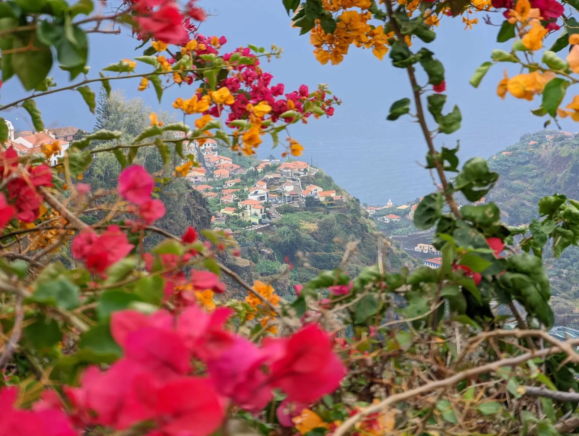
A levada high above the valley with a view to the coastA hillside village framed by bougainvilleaA persimmon tree against the terraced fields (poios)A waterfall over the levada path cut into the rock
You need to be sure-footed and free of vertigo here: in places the railings are
missing and it drops away very steeply.
A mountain path high above the Nuns' Valley (Curral das Freiras)Espetada — skewered meat, a Madeira specialityA narrow path on the cliff face as clouds gatherClouds spilling over the mountain ridge
Beard lichen in the Fanal cloud forestAn ancient laurel tree in the Fanal mistA grassy path across the misty Fanal plateauA gnarled laurel tree in thick fog
On smugglers' paths from Larano to Machico
Sea cliffs along the Larano path above the Atlantic
A young dog beside the path near LaranoTree roots gripping the rock faceA green valley with terraces and autumn flowersA view toward the Ponta de São Lourenço peninsula
A foggy road on the climb to Pico de ArieiroA path through the eucalyptus forestA levada path on the steep slopeWet boots and poles on a rainy day
This long tour was an adventure in its own right for much of the way: at km 4.5
the bridge was gone, some tracks doubled as mountain-bike and motocross trails, and
at km 7.25 the paths drawn on the map no longer existed — that area is now
off-limits. GPS reception was patchy in forest and fog. In short: only for
well-equipped, navigation-confident hikers with a head for heights — and better not
alone.
Clicking "Accept" enables Google Analytics (anonymised) for usage stats; without consent it isn't loaded. Personalised ads are handled separately through Google's own dialog.